
Lacey Neighbor Record Sources
Different sources describe different parts of a Lacey block. Thurston County GIS shows parcel shapes, nearby lots, ZIP, city status, and mapped layers. A+ Parcel Search supplies owner or taxpayer and parcel details. The voter system has tightly controlled self-service and file-request routes. The city maintains neighborhood and homeowners association contacts, though it warns that listings can be stale. Local directories and museum files help only with past households and community history.
| Source | Block details shown | Access route |
|---|---|---|
| Thurston County GIS | Parcel outlines, nearby lots, city status, ZIP, and jurisdiction layers | Free map viewer |
| A+ Parcel Search | Owner or taxpayer, situs address, parcel, and property history | Free portal |
| Thurston voter file | Authorized fields for a selected precinct or district | Signed request with use limits |
| Lacey association directory | Public association and board contact leads, not residents | City page or records request |
| Museum and old directories | Former households and historic community context | Library or appointment |
An owner's mailing address can match the property address, but that does not establish every occupant. A renter may never appear on the parcel card, while an owner may receive tax mail elsewhere. Association directories are voluntary contact tools, not complete rosters. Keep each finding tied to what its source actually states.
Map Lacey Neighbor Parcels
The Thurston County Property Map supports searches by address or parcel number. Once the target parcel appears, nearby parcel boundaries remain visible and can be opened one at a time. The county documents ZIP code, whether a parcel lies in a city, permitting jurisdiction, zoning, and environmental layers. It does not document a radius or buffer tool, so an automatic list of homes within a set distance is not available from the research.
The map is not survey, legal, or engineering grade. Use it to orient a block and identify parcel numbers. A survey, plat, or recorded legal description controls when an exact boundary matters. County map pages also note routine Monday evening maintenance from 6 p.m. for less than an hour, so a brief outage is not proof that a parcel is gone.
- Parcel
- A mapped unit of land with its own county identifier.
- Situs address
- The physical location assigned to the parcel, which can differ from the tax mailing address.
- UGA
- An urban growth area outside or around current city limits where urban growth is planned.
- Plat
- A recorded map that lays out lots, roads, and easements in a subdivision.
Walk a Lacey Block
Move outward from one known address rather than searching a broad neighborhood name. This keeps the work reproducible and prevents a similarly named subdivision from being mistaken for the block. Save the map date, since boundaries and layers can change.
- Enter the full address in the Thurston County Property Map. Confirm the selected parcel number and its city or UGA status.
- Open each parcel beside and across from the starting lot. Record parcel numbers rather than private details.
- Use A+ Parcel Search to check each owner or taxpayer field and compare the situs and tax mailing addresses.
- Check the plat or association name only after the parcel match. For a complete named-road chain, use the broader street workflow.
This process identifies ownership around the immediate block, not all Lacey neighbors or household members. For a full road rather than the nearest lots, the Lacey street directory follows the address record chain farther.
Lacey Neighborhood Association Leads
The City of Lacey neighborhood and HOA page maintains contacts for active and inactive associations within the city and UGA. The city says entries may be outdated and are not meant for commercial use. It is not a searchable member roster or an association-by-address database. Ask for current public board contact information by association name and desired date.
The successful project capture shows the official contact and request route.
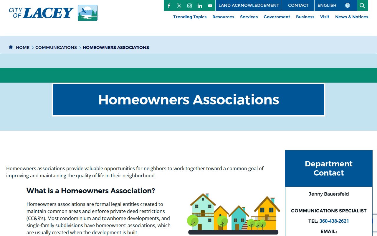
CityClerk@CityofLacey.org and the city public-record portal are the formal routes. A request may also be mailed or delivered to 420 College St SE, Lacey, WA 98503.
Campus and Meridian
Examples include Campus Glen, Campus Meadows, and Meridian Campus. Verify the exact association and plat.
Hawks Prairie Area
Hawks Prairie/Edgewater and Jubilee appear on the official list. The community label and legal boundary may differ.
South and East Lacey
Examples include Tanglewilde, Nisqually Crest, Tolmie Park, and Forest Park. Confirm city or UGA status in GIS.
Lacey Neighbor Boundary Layers
A neighborhood name, plat, association, mailing city, ZIP, and municipal boundary can all describe different shapes. Lacey city borders and its UGA are visible in county GIS. The official association PDF supplies names and map context, but it cannot certify an active board. A recorded plat can be more stable than an informal neighborhood label.
Historical terms add another layer. Old Lacey, Hawk's Prairie, Woodland, Chambers Prairie, Nisqually/Sherlock, Pleasant Glade, and South Bay are useful search terms in local records. They are not proof that a current parcel belongs to a legal subdivision. Start with the modern parcel, read its city and UGA status, identify a plat in the recorder index, and only then attach an association or historical label.
Insider tip. If the association name and plat do not match, preserve both and ask the City Clerk for the current public contact record.
Lacey Voter Data Limits
VoteWA lets each voter see their own registration. A block-level project requires the separate Thurston voter data request, not another person's self-service login. The form offers a voter list by county, district, or precinct, with optional inactive voters. Listed file fields include voter ID, registration date, name, gender, year of birth, residence and mailing address, last election voted, and precinct name and number.
Requesters must sign attestations under RCW 29A.08.720 and .740, secure the file, and avoid commercial use. Protected voter addresses and confidential fields are withheld. Washington does not register voters by party. A registration entry does not prove that the person now occupies a property, so compare the record date and address type without making a household claim.
Compare Lacey Neighbor Tools
Official records and commercial neighbor tools answer different questions. County and city sources explain their field definitions, custodians, and correction routes. Commercial compilations can merge old addresses or same-name people, and their refresh date may be unclear. Neither category proves who is inside a home now.
| Source type | Strength | Limit |
|---|---|---|
| County parcel and GIS | Parcel identity, mapped boundary, owner or taxpayer | Owner does not equal occupant; map is not survey grade |
| City association directory | Public association contact route | May be outdated; no resident roster |
| Thurston voter file | Defined fields and official request terms | Restricted use; no proof of current occupancy |
| Commercial compilation | May combine many old sources | Unclear freshness and same-name mixing |
For a wrong official value, contact the custodian and give the record identifier and date checked. For personal safety, avoid reposting a protected or disputed address while seeking correction.
Historic Lacey Neighbor Clues
Lacey Museum files can reveal how an older block was known when current parcel tools reach their limit. The physical index includes 1920 census material for Chambers Prairie, Sherlock, and Woodland, a 1932 Nisqually/Lacey school census, early school registers, community folders, and house files. These collections require a visit or appointment and must not be treated as current resident lists.
Historic houses show why a location can be deceptive. The Gallagher-Hukee House moved from the Pacific and Carpenter corner to the Museum in 1985. The Huntamer House moved from Lacey Boulevard in 1997, and the Russell House moved in 1979. Margaret Street is now 6th Avenue in the Groom-Turner history. When a current GIS result seems to erase an old address, search both street names and consult the Historic Register before deciding the directory entry is wrong.
Request Lacey Neighbor Records
The city contact directory may not answer which association covers a parcel. In that case, use the Lacey public-record portal and ask for an identifiable record. Give the association or plat name, parcel or address, record type, department, and a useful date range. A focused request for a public board contact, annexation map, subdivision file, or meeting packet is easier to locate than a demand for every record about a neighborhood.
Lacey's initial response is due within five business days, excluding the day received. The city may provide the record or a link, estimate more time, ask for clarification, or deny the request with a cited exemption. Inspection is free. The published schedule lists paper copies at $0.15 per page, scanned pages at $0.10 per page, electronic delivery at $0.05 per four-file group, and $0.10 per gigabyte. Ask for an estimate before a large request. A city request reaches records held by the city, not a private association's member list.
Protect Your Lacey Neighbors
Property and association records do not disclose a full household. Renters, relatives, and other occupants may not appear. Utility and delivery data are not public neighbor-directory sources. Courts can seal records or protect victims and minors, and voter releases must exclude protected fields. Search only for the least detail needed for a lawful purpose.
Washington's Address Confidentiality Program supplies a substitute mailing address to eligible survivors and other protected participants. State and local agencies accept that substitute under the program, while the actual address remains confidential through limited rules. The program does not retroactively erase an address from old deeds, newspapers, or directories, which is why historical results must never be presented as a current location.
Lawful use. Lacey neighbor records support civic research and personal safety. Never use them for unwanted contact, surveillance, threats, harassment, or harm.