
Walk a Lacey Street by Address
A useful Lacey street directory search moves from the place to the records, not from a guessed name. Thurston County A+ Parcel Search identifies the parcel and taxpayer tied to an address. GeoData then shows the lot in relation to the next parcels and tells whether it is inside Lacey, in the urban growth area, or elsewhere in the county. Recorded instruments establish ownership events. Restricted voter data and old directories can add household evidence, but neither should be treated as a live roll of everyone at the property.
- Enter the street number and bare street name in A+ Parcel Search. Omit the road type and direction, so a Martin Way SE search begins with “Martin.”
- Open the result by its property number. Record the parcel, situs address, taxpayer name, and the property-history categories without assuming the mailing address is where the owner lives.
- Find the parcel by address or parcel number in Thurston County GeoData. Inspect the lots on each side and confirm city, urban-growth-area, ZIP, jurisdiction, and road layers.
- Use the parcel number, owner name, legal description, or Auditor’s File Number in the Recorder Online Record Index. Follow deeds and related releases in date order.
- For a past household, compare dated directory entries, census material, school files, and public voter information available under Washington law.
The chain matters. A taxpayer record can identify an owner or an entity, but it does not list every resident. A deed proves that an instrument was recorded, not that every named party occupied the home. The street-by-street method becomes stronger when two dated sources agree.
Search Lacey Streets in A+
Thurston County’s A+ Parcel Search instructions document the fields that make a by-address search work. Street-name-only searching is useful when the goal is to scan many lots on one road. Results may be sorted by owner, address, or parcel. The county says the data is maintained continually, and the result page includes a feedback route for inconsistencies.
| A+ field | Input | Use on a street search |
|---|---|---|
| Parcel number | 11 digits | Reopen one known lot without relying on its street label. |
| Owner or taxpayer | First and/or last name | Find other parcel results tied to the same indexed name. |
| Street number | Number | Narrow a street to one situs address. |
| Street name | Name only | Omit type and direction; scan the whole named street. |
| Sort | Owner, address, parcel | Arrange the result set for a block-by-block review. |
The live A+ search form shows the county’s entry point.
The form supports an exact parcel search and a wider street-address sweep. Open the property number to reach the detailed parcel tabs.
Address Records Behind Lacey Streets
No single public list supplies every person at every Lacey address. Instead, the street directory draws on official systems that index parcels, recorded transactions, mapped jurisdiction, and specific city files. Each keeper offers a different access channel, including online search, office inspection, mailed copy request, or a focused request under the Washington Public Records Act.
| Address source | Record keeper | Useful result | Ways to reach it |
|---|---|---|---|
| A+ property roll | Thurston County Assessor | Parcel, taxpayer, situs and mailing data, value and history categories | Free portal; Assessor office or phone |
| Property and combined maps | Thurston County GeoData Center | Lots, ZIP, city status, UGA, zoning, roads and jurisdiction | Online viewers; custom GIS or data request |
| Deeds and related instruments | Thurston County Auditor Recording Services | Indexed parties, AFN, document type and legal-description trail | Online index; office record; mail copy request |
| Older recorded land | Washington State Archives | Party, addition, party type and bounded-year results | Digital Archives; Southwest Region Branch |
| Permit, annexation and public-works files | City of Lacey | Dated public files tied to a project, parcel or street | Specific Public Records Act request |
The parcel number is the most stable join between the assessor, maps, and many recorded instruments. The AFN is the unique file reference for a recorded document. When a city file is not searchable online, ask for a named record series, address, parcel, department, and date range.
Map Lacey Street Boundaries
The Thurston County online maps separate a mailing label from actual jurisdiction. Use Find, choose By Address or By Parcel Number, and then open the layer list. Permitting Jurisdiction, Urban Growth Areas, and Zoning are found under Planning & Land Use. The Property Map also supplies parcel outlines, addresses, ZIP codes, and city status.
Switching from the street base map to aerial imagery can help explain the shape of a lot or road. Show Me Everything adds environmental, shoreline, utility, district, park, and right-of-way context. Those layers show current mapped conditions. They cannot be backdated to prove the boundary that applied to an old household.
Map limit. County GIS is not survey, engineering, or legal-grade evidence, and no official radius or adjacency search tool was documented.
Deeds Along a Lacey Street
Thurston County Recording Services keeps deeds, deeds of trust, mortgages, easements, leases, maps, liens, releases, notices, and related instruments. Search the Online Record Index by party or parcel. A named plat can be entered as the grantor, while a numbered plat can be found through its map case. Surveys may be narrowed by requester, section-township-range, and document type.
The online image collection covers selected document classes, not the full office holdings. Every recorded item can be viewed at the Recording Services office at 3000 Pacific Ave SE in Olympia. A mailed request should include the AFN, return address, and whether certification is needed. The research lists photocopies at $1 per page and certified copies at $3 for the first page plus $1 for each added page, with card surcharges subject to current rules.
The county document-search screen is the starting point for that chain.
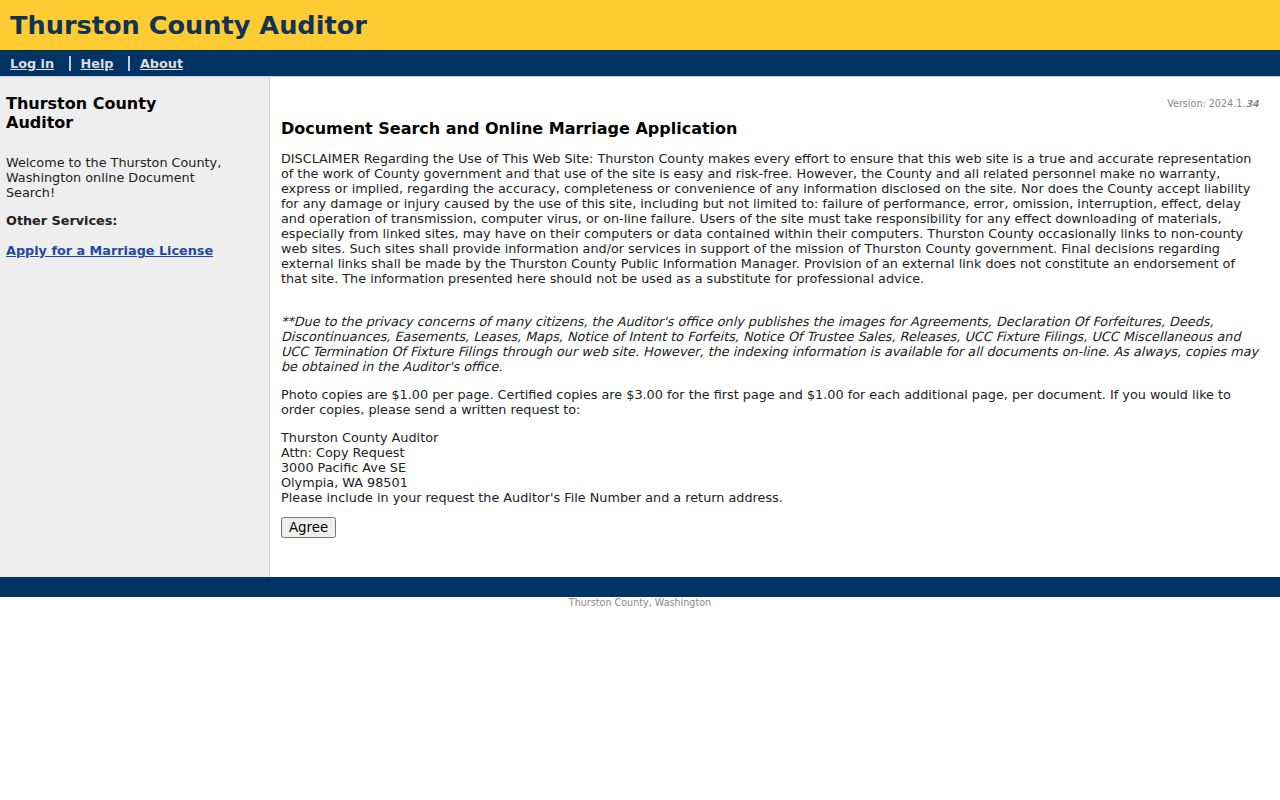
Index fields can locate an instrument even when its image is absent. Use the AFN to request or inspect the full record.
Lacey Street Records After 1979
The Washington Digital Archives recorded-land series offers another route through Thurston County instruments. Its stated span is 1979 through 2026, with current-year transfers potentially incomplete. Search fields include Party Last or Company, First, Middle, Soundex, Party Type, Addition Name keywords, and year bounds. Searching both grantor and grantee roles catches transactions that a one-sided name search can miss.
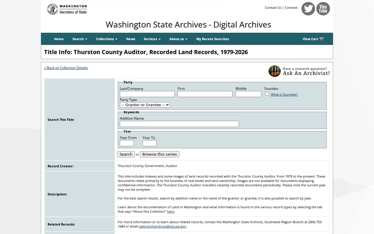
The archive view is well suited to addition-name and year searches. A result still needs comparison with the county index when a recent transfer or confidential image is missing.
Older or non-digitized records can be discussed with the Southwest Region Branch at 360-753-1684 or swbrancharchives@sos.wa.gov. The branch also holds record series beyond deeds, so a clear street, addition, and date range saves time.
Lacey Street Directory Terms
Address systems use a few words that can change the result. Define them before comparing a parcel card, deed, plat, and household listing.
- Parcel
- A mapped unit of land identified by the county with its own number.
- Situs address
- The street address of the property itself, which may differ from the taxpayer’s mailing address.
- Plat
- A recorded map that divides land into lots, roads, and other areas under a subdivision or addition name.
- Criss-cross directory
- A directory arranged by street address or telephone number instead of only by surname.
A legal description can survive street-name changes better than a postal address. Keep the parcel and plat or addition name in the notes whenever the street directory search reaches older material.
Old Names on Lacey Streets
Lacey has no complete official street-renaming index in the reviewed sources. One verified example comes from the Groom-Turner House history: Margaret Street is now 6th Avenue. Search both forms in deeds, newspapers, directories, and city files. The OFM annexation map for Ordinance 1521 is also a concrete lead for a boundary change, but one annexation map cannot stand for the whole city’s history.
Moved buildings create a second trap. The Gallagher-Hukee House moved from the Pacific and Carpenter corner to the Museum in 1985. The Huntamer House moved from 4624 Lacey Boulevard in 1997, and the Russell House moved in 1979. When an old address vanishes from a current map, check the Historic Register and Museum file before deciding that the source is wrong.
Request Lacey Address Files
City records can fill gaps left by the parcel and deed systems. The Lacey public-record portal accepts requests for city, police, and Joint Animal Services records. For street research, ask for a permit, annexation map, public-works file, council packet, code case, or other named series tied to an address, parcel, project, and date range. “All records” is likely to prompt clarification and needless cost.
The city’s first response is due within five business days, excluding the day received. Inspection is free. The published fee schedule lists paper copies at $0.15 per page, scanned pages at $0.10, email or cloud transfer at $0.05 for each four-file group, and electronic transmission at $0.10 per gigabyte. Fees, exemptions, and redactions should be checked at the time of the request.
Households in Lacey Directories
Modern parcel data is strongest for land and taxpayers. Historical city, telephone, school, and census sources are better for past household context. The Lacey Museum index includes 1920 census material for Chambers Prairie, Sherlock, and Woodland, a 1932 Nisqually/Lacey school census, and school-register copies from several early twentieth-century runs. These are on-site or appointment leads, not a current resident list.
Search an older address under alternate road names, nearby community labels, spelling variants, a spouse, a business name, and adjacent years. Rural routes and gaps in volume coverage can make a real household disappear from a single directory. The collection details belong on the Lacey city directories page; use them here only to test who may have occupied one address at a stated time.
Limits of a Lacey Street Directory
A parcel owner is not always an occupant. A taxpayer mailing address can differ from the situs address. Deeds name parties to a transaction, while historical directories can omit rural households, spouses, boarders, or people between editions. VoteWA is meant for a voter’s own registration lookup. A requested voter file is restricted by Washington statutes, secure-data duties, noncommercial-use rules, and felony misuse provisions.
Protected addresses may also be absent or substituted. Washington’s Address Confidentiality Program helps qualifying survivors keep an actual location out of many government records. Courts can seal or redact information, and city and county custodians must apply statutory exemptions. Old public records may still preserve an earlier address, so an archival hit should never be presented as a current location.
Lawful use. Use Lacey address records for lawful personal research. Never use an address trail to stalk, harass, intimidate, or harm anyone.
A sound conclusion stays narrow: the source connects a named taxpayer, party, or historical listing to an address on a stated date. It does not prove who is inside the property today.