
Lacey ZIP Directory Coverage
Census geography shows five ZIP Code Tabulation Areas intersecting Lacey. A ZCTA is the Census Bureau's approximation of a postal area. It is useful for statistics and broad research, but it is not the Postal Service delivery file or a legal city boundary. The table therefore describes research use, not fixed municipal membership or a guaranteed postal city.
| ZIP | Lacey-area coverage clue | Postal context | Boundary caution |
|---|---|---|---|
| 98501 | Olympia and Lacey-area addresses | Shared regional delivery geography | City cannot be inferred from ZIP |
| 98503 | Central and south Lacey; nearby county land | Exact assignment needs USPS | Includes unincorporated leads |
| 98506 | East and northeast Olympia; greater-Lacey overlap | Olympia-area postal context | ZCTA extends beyond Lacey |
| 98513 | East and southeast Lacey; nearby county areas | Verify delivery city by address | Municipality may differ |
| 98516 | North Lacey, Hawks Prairie, and adjacent UGA | Broad north-county delivery area | ZIP and city lines differ |
The Census Lacey search supports the intersection list. It should be used for area analysis, not to validate an individual address. None of these five rows is described in the research as a PO-box-only or unique institutional ZIP, so the Lacey ZIP code directory does not label one that way.
Mapping Lacey ZIP Areas
The Thurston County printable maps page lists a “Zip Codes and Post Offices” map. It is the official route recorded in the research because a direct PDF address was not captured. The same collection offers a North County UGA map, which helps compare Olympia, Lacey, Tumwater, and urban-growth geography.
The captured county page below helps identify the printable-map route before opening the relevant map.
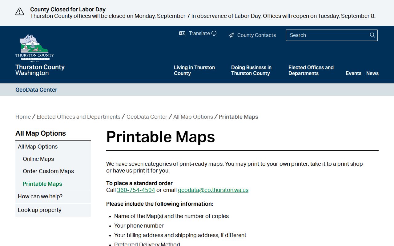
Read the map legend and publication date. A map is a geographic reference, not a current postal verification for one house. Use its post-office points and area outlines to understand the broader pattern, then confirm a specific delivery assignment with USPS.
Verify a Lacey ZIP with USPS
The USPS ZIP Code Lookup is the right authority for delivery information. The live tool supports address, city, and state lookup paths. Exact field labels were not available in the captured research, so do not invent an “advanced” filter or promise that a surname can be searched there.
- Enter the complete street address, including unit information when it is part of delivery.
- Choose the matching city and state result shown by USPS rather than forcing “Lacey” into the mailing line.
- Save the five-digit result and ZIP+4 when supplied, along with the date checked.
- Open county GIS separately and compare the city-status and ZIP fields.
- If the sources differ, preserve both and ask USPS or Thurston County to resolve the relevant question.
A mailing city is a postal convention. It does not transfer land into Lacey or establish which agency holds a local record. This distinction is especially important around north and east Lacey.
Lacey ZIP Fields in County Records
The county tools do not offer a documented public “list everyone in this ZIP” command. A+ Parcel Search instructions describe parcel number, owner or taxpayer name, street number, and street name. ZIP is not a documented input. The property map can display ZIP and whether a parcel is in a city after an address or parcel is found.
| Official tool | Documented search input | ZIP-related result | Limit |
|---|---|---|---|
| A+ Parcel Search | 11-digit parcel; owner/taxpayer; street number and name | Use property details and GIS | No documented ZIP filter |
| GIS Property Map | Address or parcel number | ZIP plus city-status layers | No documented public ZIP-wide search |
| USPS ZIP Lookup | Address, city, state routes | Delivery ZIP and available ZIP+4 | Does not decide city limits |
| Census data | Place or geography | ZCTA statistics and intersections | Not an address validator |
For a lawful ZIP-wide dataset, ask the GeoData Center about an export or submit a focused county data request. State the ZIP, needed fields, date, format, and research purpose. Do not assume a hidden map filter exists.
Note: A parcel owner or taxpayer is not necessarily the occupant, and a ZIP-level result should never be treated as a household roster.
Find Lacey Records by ZIP
A useful Lacey ZIP code directory workflow moves from broad geography to a named official record. It does not begin with bulk personal data. If a complete address is available, validate that first. If only a ZIP is known, use the county map to choose a smaller area and then switch to an address, parcel, or lawful name search.
- Confirm the delivery ZIP through USPS or identify the likely ZCTA through Census data.
- Review the county ZIP and post-office map for the broad area.
- Search a known address or parcel in county GIS and record ZIP, city status, and map date.
- Use the A+ portal only for a specific parcel, owner, taxpayer, or street search.
- Request a defined GIS export if a legitimate project truly requires ZIP-wide data.
Once the area has narrowed to a named road, continue with the Lacey street directory workflow. That is where address entry, parcels, and deed chains belong. The ZIP route should not be stretched into a street-level claim.
Lacey ZIPs Versus City Limits
Thurston County GIS distinguishes a city, unincorporated territory, and an urban growth area, or UGA. The UGA is land planned for urban growth and is not automatically inside Lacey. The research specifically warns that addresses in 98501, 98503, 98506, 98513, or 98516 can intersect Lacey's ZCTA footprint without lying inside the city.
This mismatch affects record routing. A City of Lacey request should seek a Lacey-held record, while county assessor, recorder, GIS, and many court records remain county functions. Before naming a custodian, read the GIS “whether the property is in a city” field and permitting jurisdiction. Do not infer either from the mailing label.
- ZIP code
- A Postal Service delivery area identifier.
- ZIP+4
- A more precise postal extension for a delivery segment.
- PO-box ZIP
- A ZIP assigned mainly or solely to post-office boxes; none is documented here for Lacey.
- Unique ZIP
- A ZIP assigned to one large organization; none is established in the Lacey research.
- Carrier route
- A mail-delivery path within a ZIP, not a city or neighborhood line.
Place Names Across Lacey ZIPs
Historical and neighborhood labels make the boundary issue easier to see. Old Lacey around Pacific and Carpenter, Hawks Prairie, Woodland, Chambers Prairie, Nisqually or Sherlock, Pleasant Glade, South Bay, Olympia, and Tumwater are useful search terms. They are not guaranteed legal neighborhood boundaries.
The City neighborhood and association page covers city limits and the UGA and can be out of date. Its association names may also differ from a subdivision plat, postal city, or historic community. For example, Hawks Prairie is both an enduring place term and part of current association names, while 98516 reaches beyond a clean city outline.
Use the place name to search Museum, newspaper, directory, or plat sources. Then use GIS for today's parcel and municipal status. This protects a family-history search from assigning a modern boundary to an old community.
When Lacey ZIP Sources Disagree
A disagreement is often about purpose, not error. USPS answers where mail is delivered. GIS answers where a parcel lies and which jurisdiction applies. Census ZCTAs support statistics. An association map describes a local organization. Record each source as its own field instead of choosing the one that best matches an assumption.
| Delivery question | Use USPS and save the exact address result. |
|---|---|
| Municipal question | Use county GIS city-status and jurisdiction layers. |
| Statistical question | Use the Census geography and table definition. |
| Property question | Use the parcel number, A+ record, and GIS map date. |
| Historical question | Use dated directories, plats, annexation maps, and local files. |
The Office of Financial Management's Lacey Ordinance 1521 annexation map is one concrete historical lead. Search its ordinance number in city or archive holdings. One annexation map does not define all past or present Lacey boundaries.
Use the Lacey ZIP Directory Carefully
A ZIP narrows geography; it does not identify a person. Names can repeat, owner and occupant can differ, and records update on different schedules. Cite the official result, date, field, and scope. Ask the holding agency to correct its own record rather than copying a disputed value into another file.
Washington's Address Confidentiality Program can replace an eligible participant's actual address in many government records. Protected voter addresses and other confidential fields should never be reconstructed from ZIP clues. Old public records may remain visible, but that does not permit harassment, tracking, or repeated unwanted contact.
For an agency request, be exact: name the department, ZIP or address range, record type, date span, and fields required. A focused request gives Thurston County a clear way to search and redact exempt material. It is more useful than asking for every resident in a delivery zone.